
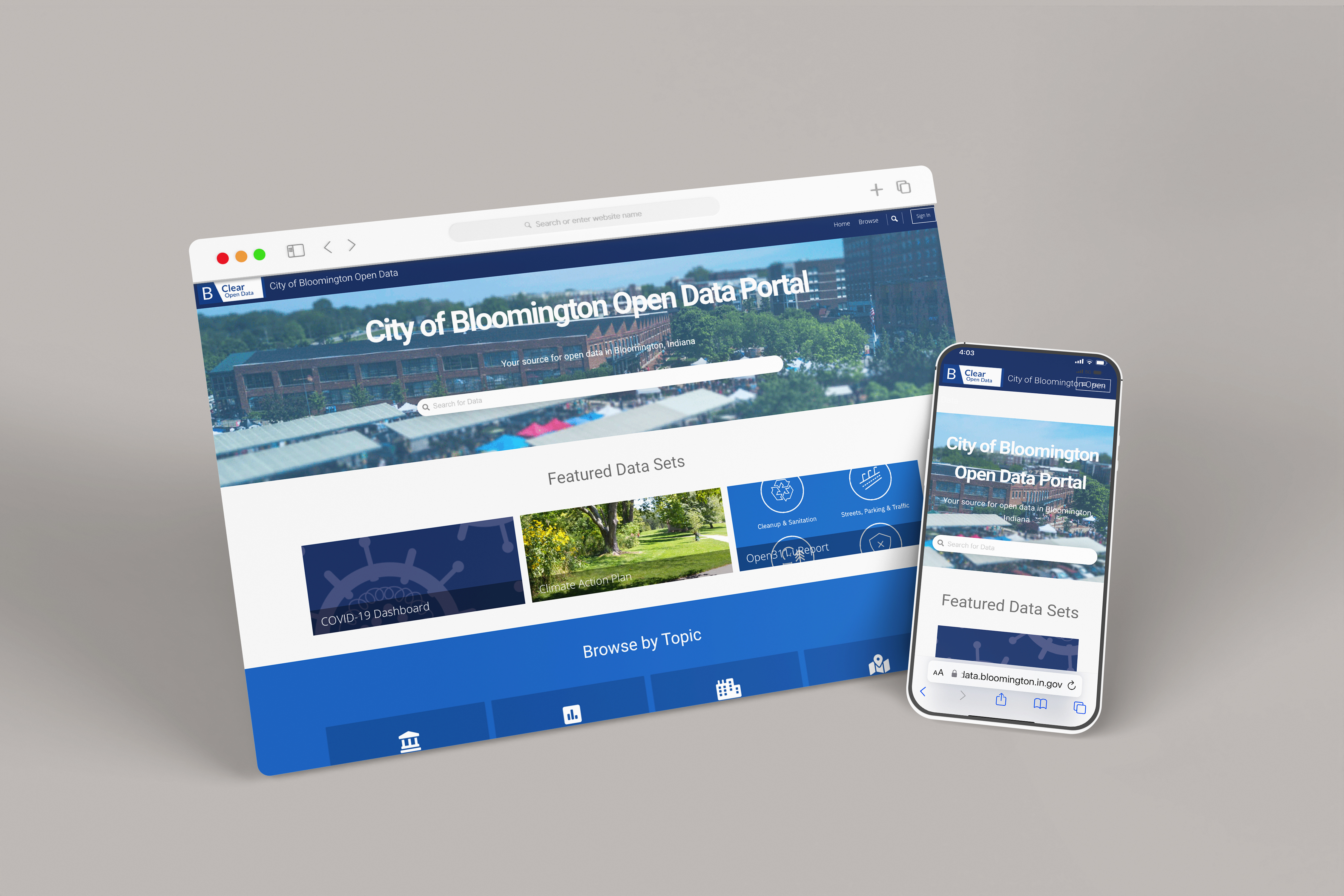
The City of Bloomington, Indiana has announce the update of its award-winning “B-Clear” data portal. The new data portal provides users with an improved ability to view data, analyze data sets, and create visualizations of City data using visualization tools within the portal or with external data analysis and visualization software.
“This upgrade is the next step in our award-winning data and transparency efforts, providing better user experience, more usable datasets, and significantly improved visualization tools,” said Mayor John Hamilton.
Currently, the City’s Open Finance portal, Covid Dashboard, and Climate Action Plan Dashboard are hosted on the new unified data portal. Beyond City-created dashboards, self-serve visualizations can now be created by residents and then shared with others.
In addition to the updated portal platform, new data sets are now available, including City Geographic Information System (GIS) data that is available on the portal as both static maps suitable for viewing, downloading, and printing and as GIS files (in CSV, KML and Shapefile format) that can be used in GIS software such as Google Earth, ArcGIS, and QGIS.
New and updated live data sets include:
- Rental Property Data: https://bton.in/F3tsV
- Indiana COVID Data: https://bton.in/ANjq0
- City Council Districts: https://bton.in/kSooO
- City Facilities: https://bton.in/da1IQ
- City Maintained Streets: https://bton.in/NT!Rz
- uReport/Open311: https://bton.in/jWcPo
- City of Bloomington Map Gallery: https://bton.in/ufjwM
“I want to offer a big thanks to the ITS data team, including Assistant Director Greg Overtoom and Cliff Ingham, as well as the ITS GIS Team for all of their hard work making important City data available to the public,” said ITS Director Rick Dietz.